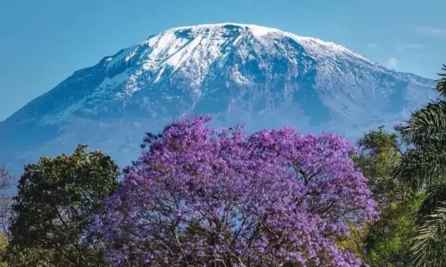
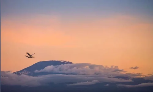
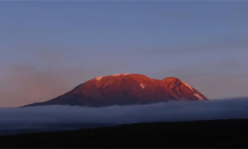
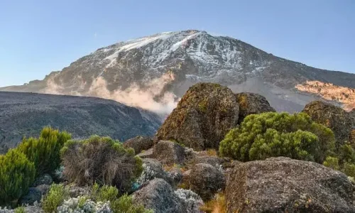
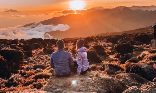
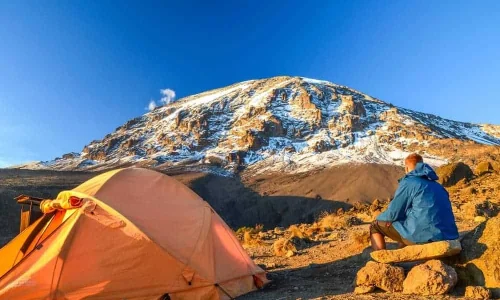
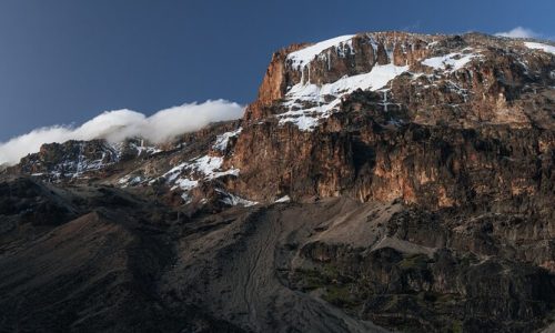
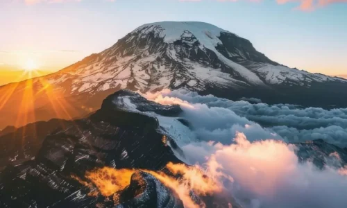
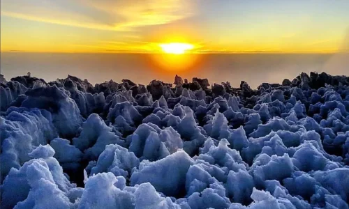
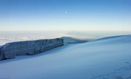
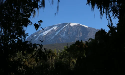
Picture this: You stand at Uhuru Peak (5,895 m / 19,341 ft), the roof of Africa, watching the sun rise over glaciers and endless horizons. The 8-day Lemosho Route is widely regarded as the most scenic and one of the highest-success-rate paths up Mount Kilimanjaro, thanks to its gradual approach, remote start, and built-in acclimatization time.
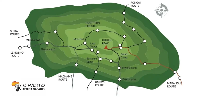
We begin on the western side, driving from Moshi or Arusha to Londorossi Gate, then trek through pristine rainforest buzzing with monkeys and birds, emerge onto the vast Shira Plateau with its golden moorlands and epic 360° views, explore lesser-used paths like Moir Hut for extra altitude adaptation, conquer the dramatic Barranco Wall, traverse the Southern Circuit beneath hanging glaciers, and summit from Barafu before descending via Mweka. Crowds stay low until Lava Tower, giving you a more intimate mountain experience.
This longer itinerary is perfect for those wanting the best chance at the summit (often 90%+ success with proper pacing), ideal for fit adventurers with some hiking experience who prioritize safety, scenery, and comfort. As Arusha locals, our team knows every ridge, weather shift, and hidden viewpoint. We guide responsibly on this UNESCO site, supporting conservation and fair treatment for porters and crew.
Best time to climb: January–March and June–October for clearer views and milder weather. Ready to make memories that last a lifetime? This 8-day journey delivers breathtaking beauty, personal triumph, and the thrill of Africa’s highest peak.
Day 1
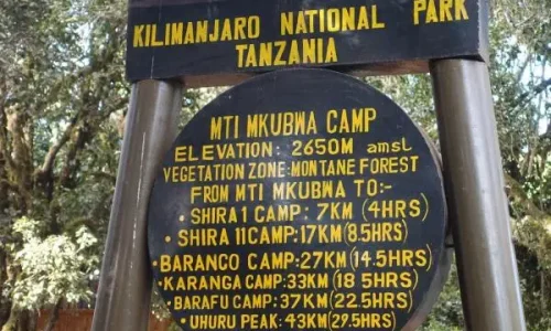
Londorossi to Mti Mkubwa
Day 2
Mti Mkubwa to Shira 1 Camp
Day 3
Shira 1 Camp to Moir Hut
Day 4
Moir Hut to Lava Tower, to Barranco Camp
Day 5
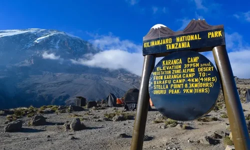
Barranco to Karanga Camp
Day 6
Karanga to Barafu Camp
Day 7
Barafu Camp to Uhuru Peak Descent to Mweka Camp
Day 8
Mweka Camp to Arusha
Elevation: 2,360 m to 2,895 m (7,742 ft to 9,498 ft)
Hiking Time: 3–4 hours
Distance: 6 km / 4 miles
Difficulty: Low
Habitat: Rainforest
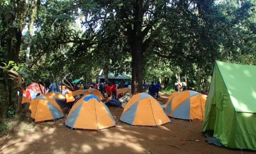
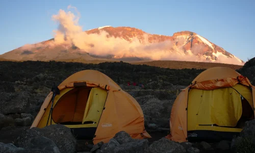
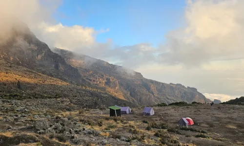
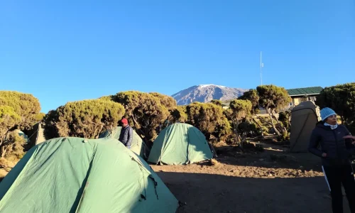
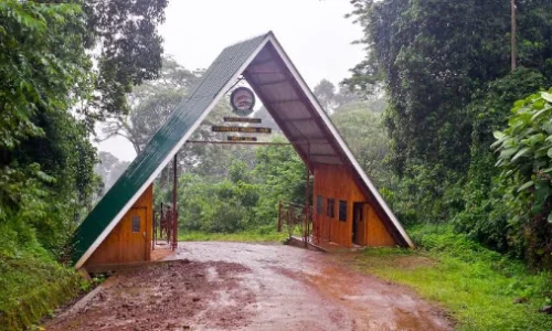
Your adventure starts with a scenic 4-hour drive from Moshi or Arusha to Londorossi Gate for permits and registration. We then transfer to the Lemosho trailhead and begin trekking through lush, undisturbed rainforest, towering trees, exotic birds calling overhead, and the chance to spot colobus monkeys swinging above. The path winds gently uphill, the air fresh and alive. By afternoon, reach Mti Mkubwa (Big Tree) Camp, where hot tea, a hearty dinner, and cozy tents await under the forest canopy.


Elevation: 2,895 m to 3,505 m (9,498 ft to 11,500 ft)
Hiking Time: 5–6 hours
Distance: 8 km / 5 miles
Difficulty: Medium
Habitat: Heath / Moorland
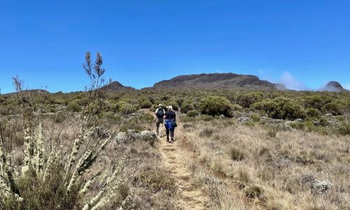
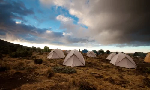
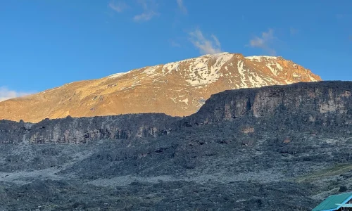
Leave the dense forest behind as the trail opens to savannah-like heathland, tall grasses, heather bushes draped in lichen, and volcanic rocks. Cross bubbling streams and rolling hills, gradually gaining altitude. The landscape feels wild and open. As you crest Shira Ridge, your first breathtaking glimpse of Kibo appears across the plateau. Settle into Shira 1 Camp with sweeping views and the mountain’s quiet magic.


Elevation: 3,505 m to 4,200 m (11,500 ft to 13,800 ft)
Hiking Time: 5–7 hours
Distance: 11 km / 7 miles
Difficulty: Medium
Habitat: Heath / Moorland
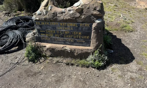
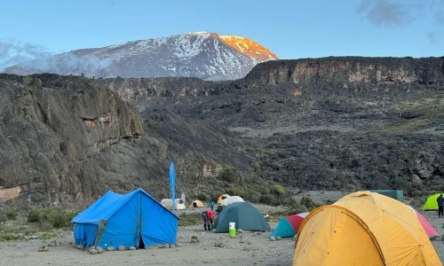
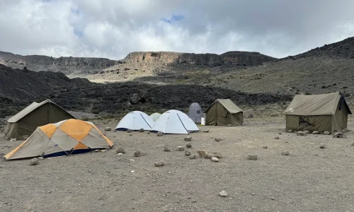
A full day to immerse in the incredible Shira Plateau, one of Earth’s highest and most serene. Walk gently east across moorland meadows dotted with giant senecios and wildflowers. We divert from the main path to the quieter Moir Hut at the base of Lent Hills. Afternoon options for short acclimatization walks on the hills help your body adjust while you soak in panoramic views. This extra day dramatically boosts summit chances.


Elevation: 4,200 m to 4,630 m (Lava Tower), descend to 3,950 m (Barranco)
Hiking Time: 4–5 hours to Lava Tower + 2–3 hours descent
Distance: 7 km to Lava Tower + 3 km to Barranco
Difficulty: Medium
Habitat: Alpine desert
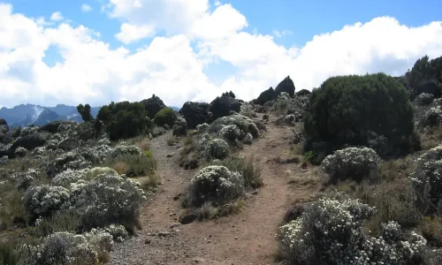
Climb a ridge southeast to the striking Lava Tower (a 300-ft volcanic plug) for lunch at high altitude, classic “climb high, sleep low” for acclimatization. Views are unreal: vast plains, distant glaciers, Kibo looming. Descend through bizarre Senecio Forest to Barranco Camp. Though you end near your starting elevation, the high exposure strengthens you for what’s ahead. Sunset on the massive Barranco Wall is unforgettable.


Elevation: 3,950 m to 4,035 m (13,044 ft to 13,106 ft)
Hiking Time: 4–5 hours
Distance: 5 km / 3 miles
Difficulty: Medium
Habitat: Alpine desert
Start with the exciting scramble up the Great Barranco Wall, steep but non-technical, with handholds and epic drop-away views. Guides coach you every step. At the top, celebrate with photos against Kibo’s backdrop. Traverse rolling hills and valleys, dropping into Karanga Valley before one final climb to camp. This shorter day preserves energy while continuing acclimatization.


Elevation: 4,035 m to 4,640 m (13,106 ft to 15,331 ft)
Hiking Time: 4–5 hours
Distance: 4 km / 2 miles
Difficulty: Medium
Habitat: Alpine desert
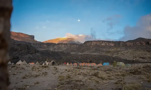
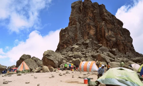
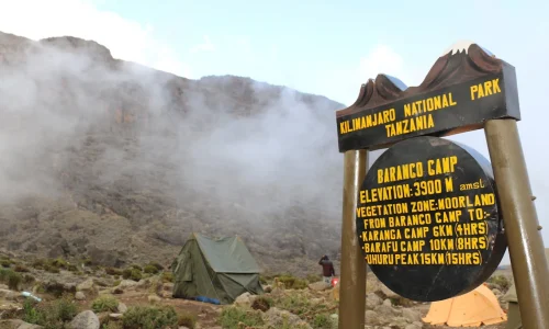
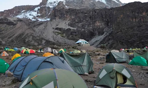
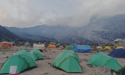
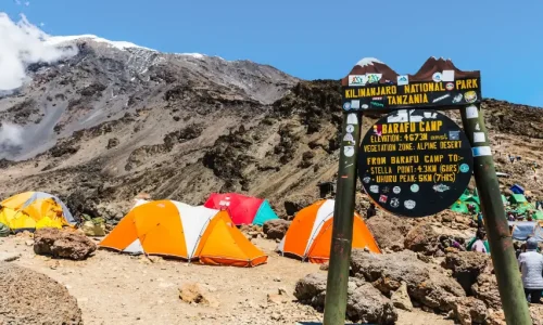
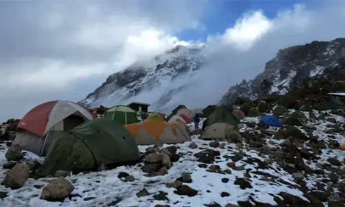
A steady ascent through rocky terrain, joining the Mweka Trail junction. Reach Barafu (“Rehearse”) Camp on a windy ridge with incredible angles on Mawenzi and Kibo peaks, you’ve now completed the scenic Southern Circuit. Rest early, eat well, and do a short acclimatization hike. Your guide briefs you for summit night; anticipation builds under the stars.


Elevation: 4,640 m to 5,895 m (summit), descend to 3,100 m
Hiking Time: 7–8 hours ascent + 4–6 hours descent
Distance: 5 km ascent + 12 km descent
Difficulty: High
Habitat: Arctic to rainforest
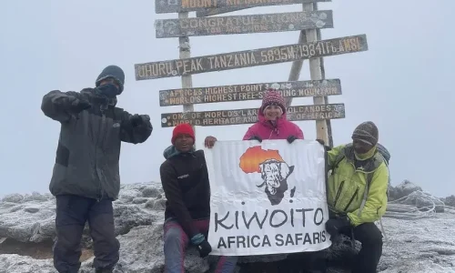
Wake around midnight for tea and snacks. Headlamps on, we ascend pole pole through freezing darkness, pausing often. Near Stella Point, dawn breaks spectacularly over Mawenzi. Push to Uhuru Peak, embrace the triumph, snap photos amid glaciers, and celebrate! Descend to Barafu for lunch/break, then continue rocky down to Mweka Camp in the misty forest. Relief and joy as oxygen returns.


Elevation: 3,100 m to 1,640 m (10,065 ft to 5,380 ft)
Hiking Time: 3–4 hours
Distance: 10 km / 6 miles
Difficulty: Low
Habitat: Rainforest
A joyful, downhill walk through lush forest, birds singing, mud possible after rain. At Mweka Gate, collect summit certificates, say warm goodbyes to your crew, and transfer back to your hotel in Arusha or Moshi for a hot shower and well-earned rest.


We’re Arusha locals through and through, our guides have summited countless times and know how to read the mountain, weather, and your energy. We keep groups small for personal care, pay fair wages, support conservation, and focus on safe, joyful climbs over volume.
Travelers pick us for the authentic touch: flexible plans, direct Arusha support, and genuine hospitality that makes the tough moments easier and the triumphs sweeter. With strong reviews and a heart for responsible adventure, we’re committed to your Uhuru success.
This 8-day Lemosho route with acclimatization offers comfort, safety, and higher chances of reaching the top. Contact us today for a free personalized quote, training tips, or to combine with a safari. Pole pole, we’ll get you there!
| PAX | 1 PAX | 2 PAX | 3 PAX | 4 PAX | 5 PAX | 6 PAX |
| Price | on request | on request | on request | on request | on request | on request |
Eight days is the longest common version of Lemosho and gives your body the most time to acclimatize before the summit push. It generally offers the highest summit success rate of the Lemosho options, since the extra day reduces the risk of altitude sickness cutting the climb short.
Success rates are typically the highest among Lemosho itineraries, thanks to the additional acclimatization day built into the schedule. For trekkers who can spare the extra day, this is often the version we recommend for the best overall experience and outcome.
No technical climbing experience is needed, since Lemosho is a trekking route rather than a technical ascent. What matters more is a reasonable level of fitness and determination, since the days are long and the final push to the summit is physically demanding.
The driest and most popular windows are typically January to mid March and June to October, when trails are clearer and weather is more predictable. Climbing outside these windows is still possible, though rain and cloud cover become more likely.
Our guides monitor trekkers daily for symptoms and follow a slower, more gradual pace across the eight days to support acclimatization. If symptoms become serious, guides are trained to make the call to descend, since safety always comes first over reaching the summit.
A typical route passes through camps such as Mti Mkubwa, Shira, Moir Hut or Barranco, Karanga, and Barafu before the final summit push, with a descent afterward. The extra day compared to the 7-day version is usually added as an additional acclimatization stop around Barranco or Karanga.

Both options are available. Joining a scheduled group departure is usually more affordable, while a private trek gives you full control over pace and start dates, arranged just for your party.